
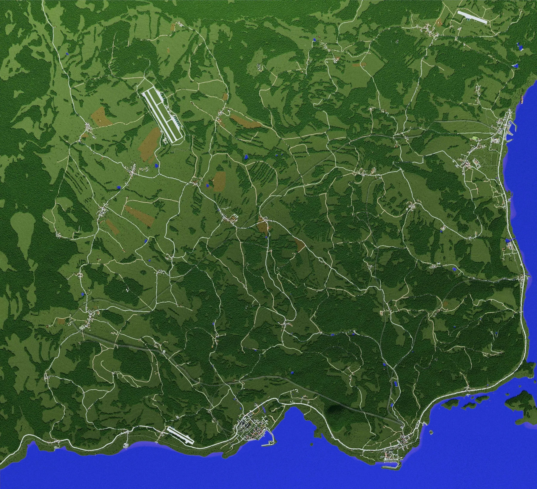
Urban shoreline, pier and dense construction along the water.
Operational
area.
POINT A
POINT B
BASE
TACTICAL SECTOR // CLASSIFIEDGRID 47-ED
SECURE LINK
MAP DATA LOCKED
The signature radar screen from earlier site versions has been restored. Detailed sectors and points will be refined together with the final world map.
N 50° --' --" / E 30° --' --"
MWC / MAP ARCHIVE
RECON IMAGERY
Aerial reconnaissance
Port, city, airfield, roads and small settlements.
MAP INTEL
Key areas on the current maps
So the map feels like an operational theater rather than just a pretty picture.
Runway and nearby infrastructure as an important route point.
Branching roads where vehicles and convoys are especially easy to read.
An isolated environment map suitable for a separate scenario.
07.09.2026Map updated and tactical radar block restored